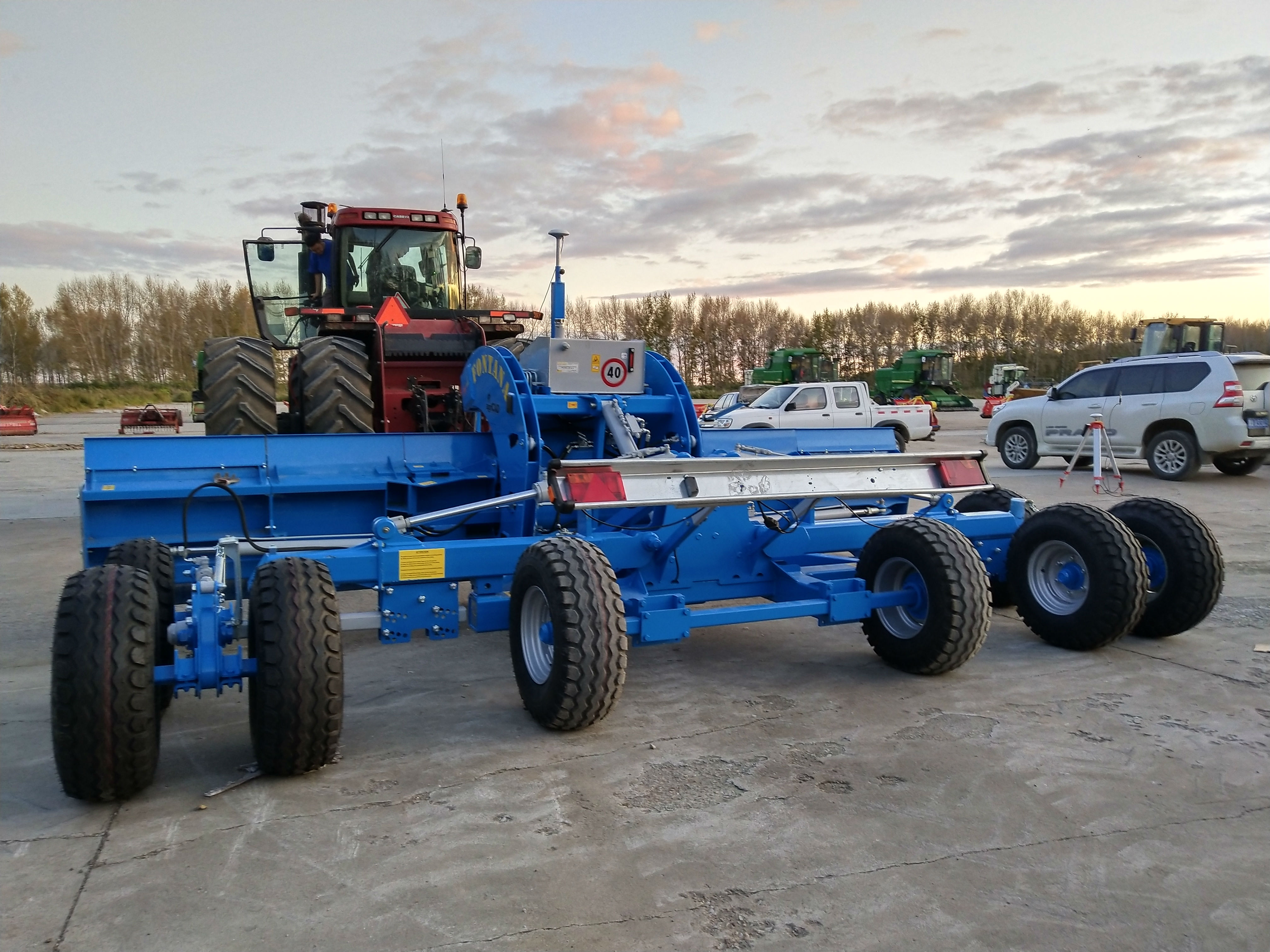
Satellite Position Leveller LL2 LL3
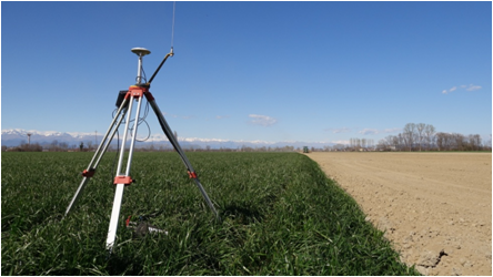
The satellite navigation leveling system is a high-percision, high-performance satellite leveling system.The system is specially suitable for rice filed leveling, with an operation accuracy of +-2-2.5 cm. It can provide a favorable guarantee for intensive cultivation, irrigation, fertilization, and increased yield and harvest of agricultural operations.
The system is mainly used for land reclamation, precise leveling and integration of land according to the direction of water flow. It can make the slope of land and any required land leveling project.The accuracy of the operation is within ±2 - 2.5 cm. The technology of this product has reached the higher level of similar products, and it has the advantages of easy installation, easy operation, time saving, labor saving and money saving. It is very in line with the requirements of our country's agricultural earthwork.
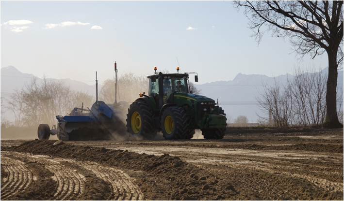
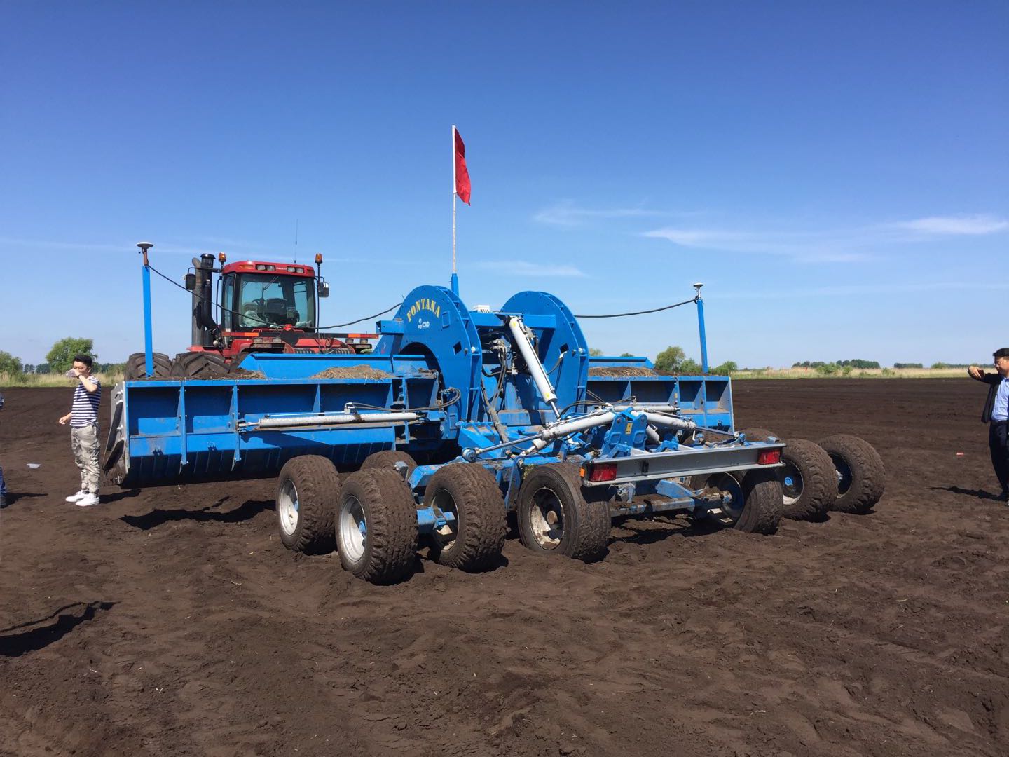

Land leveling of GPS in Inner Mongolia Inner Mongolia agricultural equipment